|
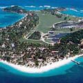
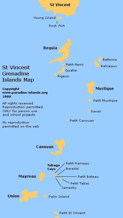
Grenadine Islands Map - St Vincent and the Grenadines. There are some 32 small islands and cays in this Caribbean chain; the most well known worldwide include Mustique, Bequia and Union island. St Vincent and the Grenadines are part of the Caribbean Windward islands lying south of St Lucia and west of Barbados. Click on the interactive map above for more information about the Grenadines.
Want to use this Grenadine Islands map? Paradise Islands grants permission for this map of the Grenadine Islands to be copied or downloaded for personal use, school projects, within blog entries or forum chat posts without requesting permission from the copyright owner (please place a courtesy link to this site or this page, thank you, see below). Paradise Islands does not grant permission for this map of the Grenadines to be used for general and commercial website illustration.
Map copyright Paradise Islands Caribbean Travel Guide. All rights reserved.
Print this map? Click this link for the JPG file (400 x 708 pixels): Grenadine Map (opens in new window)
Link to this page? Please use this page URL: http://www.paradise-islands.org/grenadine-map.htm
Link to the map JPG file?
Image URL: http://www.paradise-islands.org/grenadines/images/GrenadinesMapStVincent.jpg
|


