| Caribbean Leeward Islands |
|
|
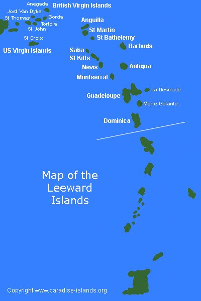
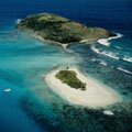
| The Leeward islands are situated in the Caribbean, they form a major part of a line of land masses called the Caribbean Lesser Antilles which widen out in the north. Most of the Leeward islands are volcanic with a few that are flat coral structures. |
| The whole Caribbean / West Indies region encompasses over 5,000 plus island land masses, reefs and cays. This section of the guide concentrates exclusively on the Leeward islands (see map) of the Lesser Antilles region of the Caribbean from the British Virgin Islands in the north to Dominica in the south. |
| The Caribbean Leeward Islands are named due to the prevailing winds blowing north and they consist of Anguilla, Antigua and Barbuda, Saint Martin, the British and United States Virgin Islands, Montserrat, Dominica, Guadeloupe, Saint Kitts and Nevis, Saba and Saint Barts. |
| These islands are in the "Lee" of the wind, in other words the prevailing trade winds are blowing towards them. Click on the map above for more information. |
|
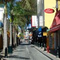
Philipsburg Sint Maarten
|
Shirley Heights Antigua
|
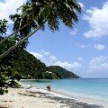
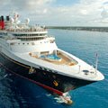
| The Leeward and Windward islands together make up the Caribbean islands group of the Lesser Antilles. The Leeward islands of the West Indies are one of the most popular tourist travel destinations in the World with a huge demand within the Caribbean cruise industry. The Leeward islands have high temperatures all year and the region attracts large numbers of people seeking a vacation on an idyllic tropical Caribbean island paradise. |
|
|
|
|
|
|
|
|
|
|
|
Antigua
|
|
|
|
Virgin Islands
|
|
|
|
Sint Maarten
|
|

|
|
British Virgin Islands
|
|

|
|
US Virgin Islands
|
|
|
|
Tortola
|
|

|
|
Virgin Gorda
|
|

|
|
Jost Van Dyke
|
|
|
|
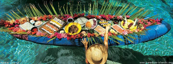
Necker Island
|
|
|
|
Cruise Port Guide
|
|
|