|
Main tourist areas and places of interest:
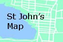
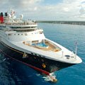
Saint John's is the capital and cruise ship dock on the north western coast. The main commercial centre of the island with a population of 25,000 (over one third of the of the island and it's dependency of Barbuda live in the capital). The town has been the island's administrative centre since 1632.
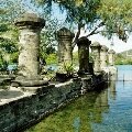
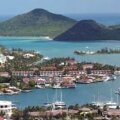
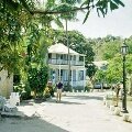
Nelson's Dockyard is the premier tourist attraction and no visit to the island would be complete without making the journey to see the restored Georgian dockyard which was named after the famous Admiral Horatio Nelson. Most cruise ship companies offer an excursion to the yard in English Harbour which is on the southern coast of the island and around a forty-five minute drive from the cruise port.
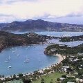
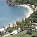
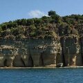
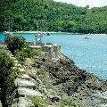
Shirley Heights has a fantastic views looking down on Galleon Beach, English Harbour and Nelson's Dockyard. The heights offer breathtaking and far reaching views across English Harbour and the whole of the island. This area was fortified named after the English Governor of the Leeward islands, General Shirley, in the late 18th century.
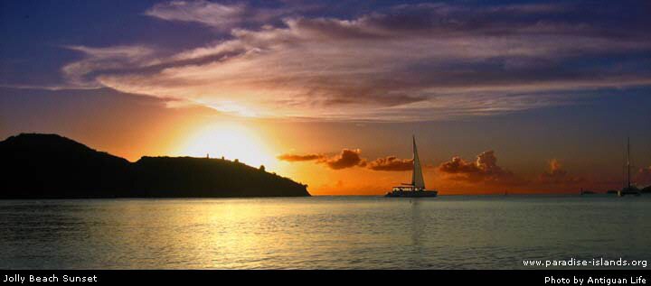
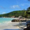
Jolly Beach and nearby Jolly Harbour, located in the parish of Saint Mary on the west side of the island are one of the major tourist areas for hotels and visitors staying in Antigua. Jolly beach is 1 mile long sandy curve and the Jolly Harbour area amenities include hotels, stores, restaurants, a casino and a golf course.
|