| Willemstad Curacao Travel Guide |
|
|
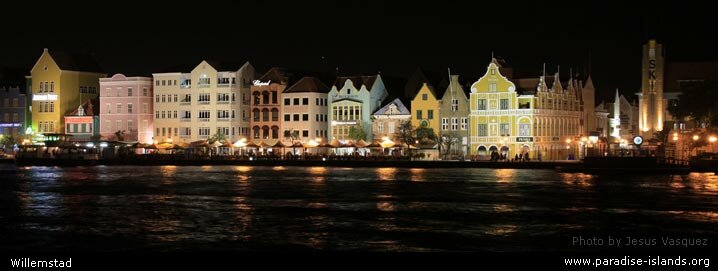
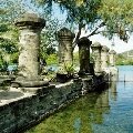
Welcome to Willemstad on the Paradise Islands website. The island's capital town and main port is well known for the lovely coloured houses and buildings which were built in the Dutch architectural style from around 1634 onwards when the Dutch captured the islands of Curacao, Aruba and Bonaire from the Spanish. The first building was Fort Amsterdam which today is the Government headquarters. Around 135,000 people live in the town (about 95% of the island's total population).
The earlier east side of the town dating from 1634 onwards is called Punda (meaning "The point"). The west side of the town is called Otrobanda (meaning "The other side") and dates from 1707 onwards. There are still over 750 historic buildings surviving within the town.
|
|
|
|
In 1997 the historic city centre became a UNESCO World Heritage Site along with Old Havana (in the Republic of Cuba); historic Bridgetown (in Barbados) and San Juan (in Puerto Rico).
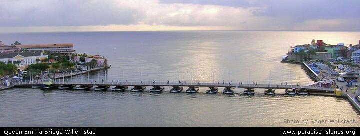
The Santa Anna Bay channel ("Sint Annabaai" in Dutch) runs though the centre of Willemstad and splits the town into two districts either side of the harbour entrance. The two districts of Punda and Otrobanda are linked by the modern Queen Juliana road bridge bridge high above the waterway. There is also floating pedestrian pontoon bridge (free to use) called the Queen Emma bridge (see photo below).
|
|
Most visitors to Curacao arrive by cruise ship and dock at the cruise terminal on the the Otrobanda (west side) of Willemstad. The huge super ships that are unable to pass under the Queen Juliana road bridge bridge dock at the "Mega Pier".
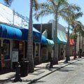
Both cruise terminals are just a few minutes walk to downtown Willemstad with it's vibrant and cosmopolitan selection of waterfront cafes, restaurants and shops.
|
| Visitors can cross over the floating Queen Emma floating foot bridge (known to the locals as the "Swinging Old Lady") to the main shopping streets located on the Punda side of town. The bridge was constructed in 1888 and completely renovated in 1939. When it was built it was a toll bridge with fares charged to anyone who could afford shoes. Today there is no toll and the bridge swings opens and closes to allow ships to enter and exit the harbour. |
|
Interactive Satellite Image
Use the "+" or "-" buttons to zoom in or out
|
|
|
| Travel, holiday, vacation & cruise guide to the Caribbean. All text and images are Copyright Paradise Islands org. All images on this website are obtained with the permission of the owners and come from various sources including tourist boards. |
|
|
|
|
|
|
|
|
|
|
|
Cruise Port Guide
|
|
Some of our favourite
Caribbean destinations
|
|
|
|
Old San Juan
Puerto Rico
|
|

|
|
The Pitons
Saint Lucia
|
|
|
|
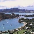
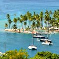
Nelson's Dockyard
Antigua
|
|
|
|
Tobago Cays
Grenadines
|
|
|
|
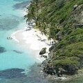
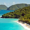
Trunk Bay
St John USVI
|
|
|
|
Philipsburg
Sint Maarten
|
|
|
|
Shirley Heights
Antigua
|
|
|
|
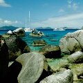
The Baths
Virgin Gorda BVI
|
|
|
|
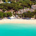
West Coast
Barbados
|
|
|
|
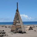
Buried Plymouth
Montserrat
|
|
|
|
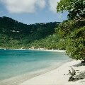
Cane Garden Bay
Tortola BVI
|
|
|
|
Necker Island
BVI
|
|
|
|
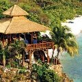
Marigot Bay
St Lucia
|
|
|